
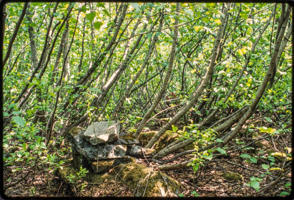
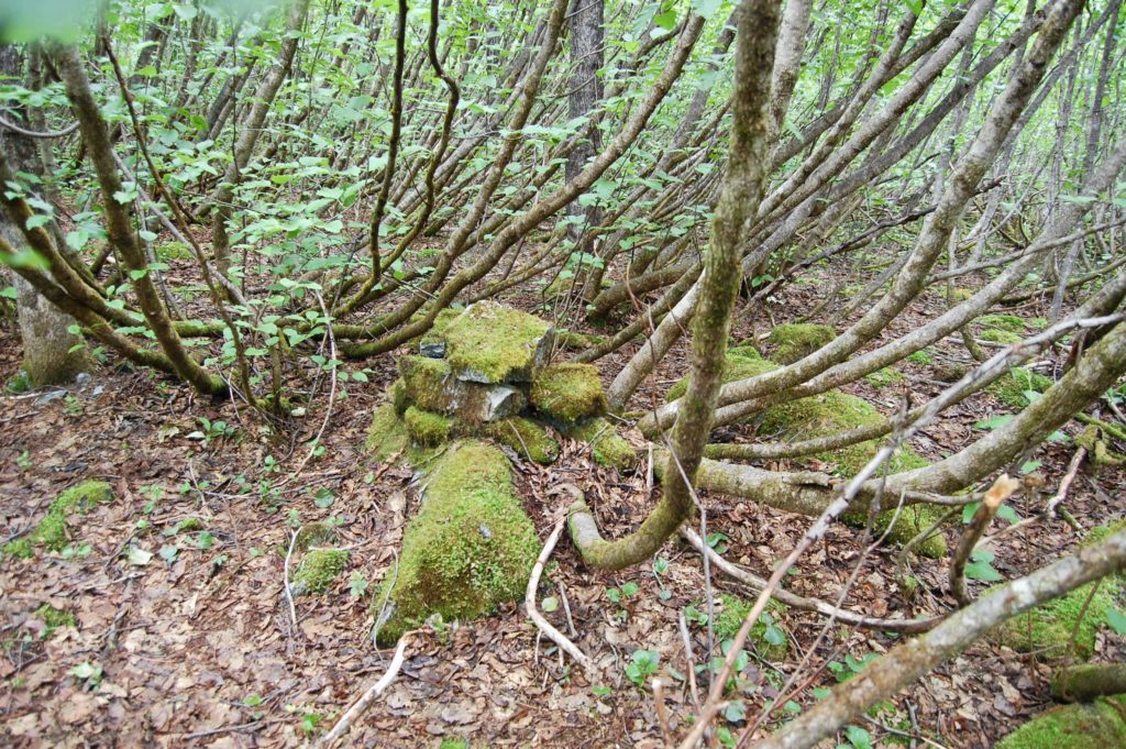
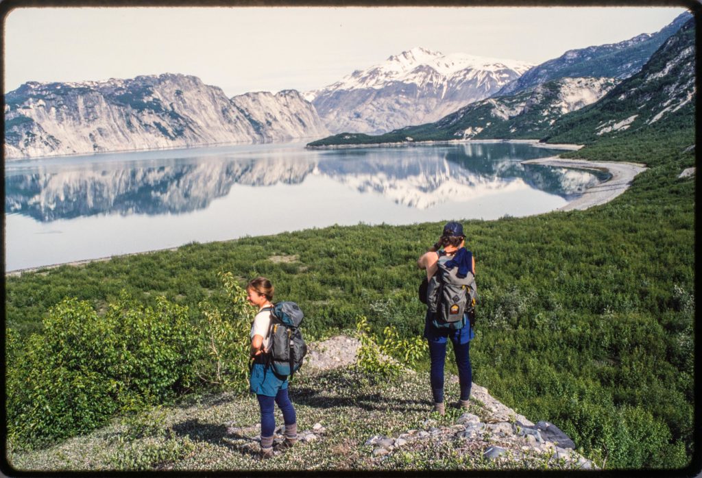
My second youngest study site at Glacier Bay is on a bench of outwash about 150 feet above Muir Inlet. Before alders covered the young surface in the mid 20th century, the bench offered a good view of the retreating face of Muir Glacier to the north. William O. Field established a photo station there maybe in the late 1940s and marked the spot with a cairn assembled of several large rocks (see http://fastie.net/dating-fred/). I found a cairn in 1988 when I set up my study plots in a dense thicket of alders.
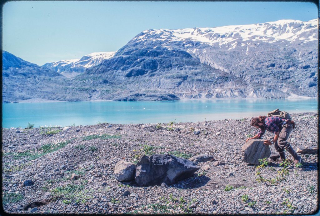
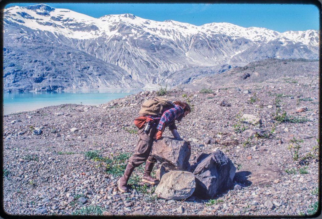
I was impressed with the size of the boulders Field used to make his cairn. It seemed like a superhuman amount of work to move them and then lift them into a pile. But then I was schooled in how it was done. In 1990 when I was establishing the permanent plots at my youngest study site farther up Muir Inlet, I measured the compass bearing and distance from some of the plots to a big boulder. I was working with Dan Uliassi and I think it was his idea to turn that boulder into a cairn. Dan might have been inspired by the effort William O. Field’s cairn demanded–he was definitely highly motivated and did all of the work building his cairn. I learned my lesson and took photos.
Last month Galen and I found Dan’s cairn while we were relocating the study plots at that site. My maps and notes described it as a “boulder” and I didn’t immediately remember that Dan had made it more than that. So I was surprised to find a huge cairn and then slowly recalled that there was a photo of Dan and the cairn. When I got home I searched through some 28-year-old color slides and found the whole series of photos of Dan’s project.
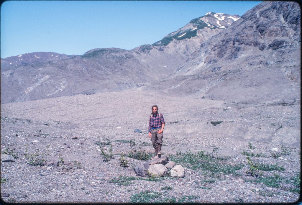
The vegetation has changed some since 1990, and it was really helpful to have the cairn to guide us to some of the plots. We might have never recognized a single boulder. During this expedition the plot locations were documented with GPS, so like William O. Field’s cairn, Dan’s has mostly historical value now.
Little bitty boulders.