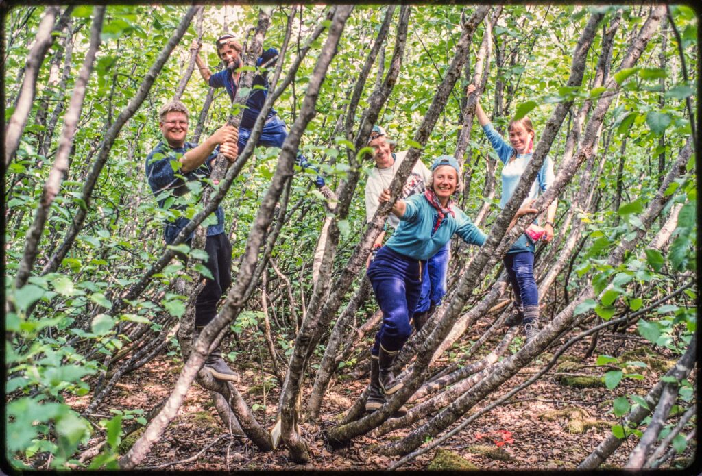
The second youngest of my 10 study sites at Glacier Bay is called Fred because there is a USGS benchmark there named Fred. Fred is dominated by alder. When the plots were established in 1988, there were no spruce and the average diameter of the cottonwood trees was 7 cm (2.8 inches). There were about five of these little cottonwood trees in each plot and 280 alder stems. There are 10 plots and we measured the diameter of all 2800+ stems.
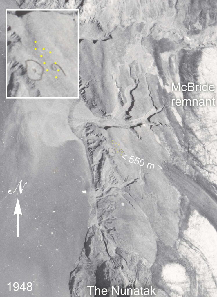
The primary source I used to date Fred’s emergence from under the glacier was an aerial photo taken in 1948. The McBride remnant, a large extent of shrinking, stagnant ice, was 550 m away from the plots and I guessed that four years earlier the ice had probably covered the plots. I was probably off by a few years.
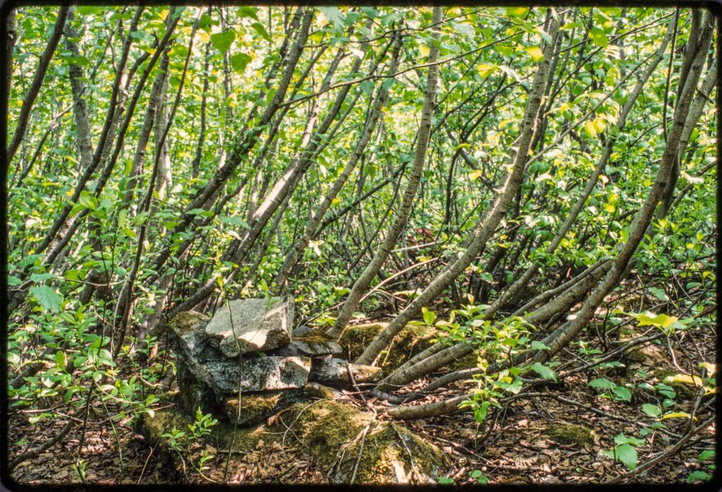
Adjacent to plot 3 at Fred is a cairn built by someone before the site was covered with alders (nobody but an ecologist would go in there after it was an alder thicket). I assumed this was a photo station and suspected that the cairn had been built by William O. Field.
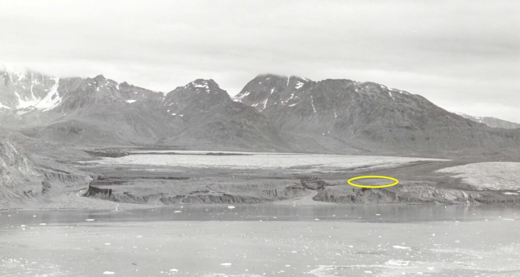
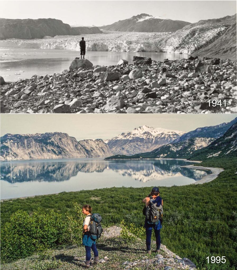
William O. Field made photographs of glaciers in Glacier Bay from 1926 to 1987. The National Snow & Ice Data Center (NSIDC) has archived about 150 of Field’s photos taken in Muir Inlet. Field’s photo Station 4 is across Muir Inlet from Fred, and the Fred study site is conspicuous in 1941 photos from that station (Figure 4). Although a remnant of McBride Glacier fills the valley beyond the study site, the site appears free of ice.
Field also had a photo station near the Fred plots but apparently not near plot 3 where we found the cairn. Lining things up in Google Earth suggests that Station 6 is 100 meters west of the plots near the edge of the steep gravel bank. The printed copy of a 1948 aerial photo of the area archived at NSIDC has the location of “6” marked in pencil (Figure 2). This is someone’s (maybe Field’s) impression of where the station is and agrees with my estimate.

Field also made photos at Station 6 in 1950. Sometimes Field’s photos do not precisely repeat his earlier photos and I have not found perfect repeat photo pairs, but some are close.
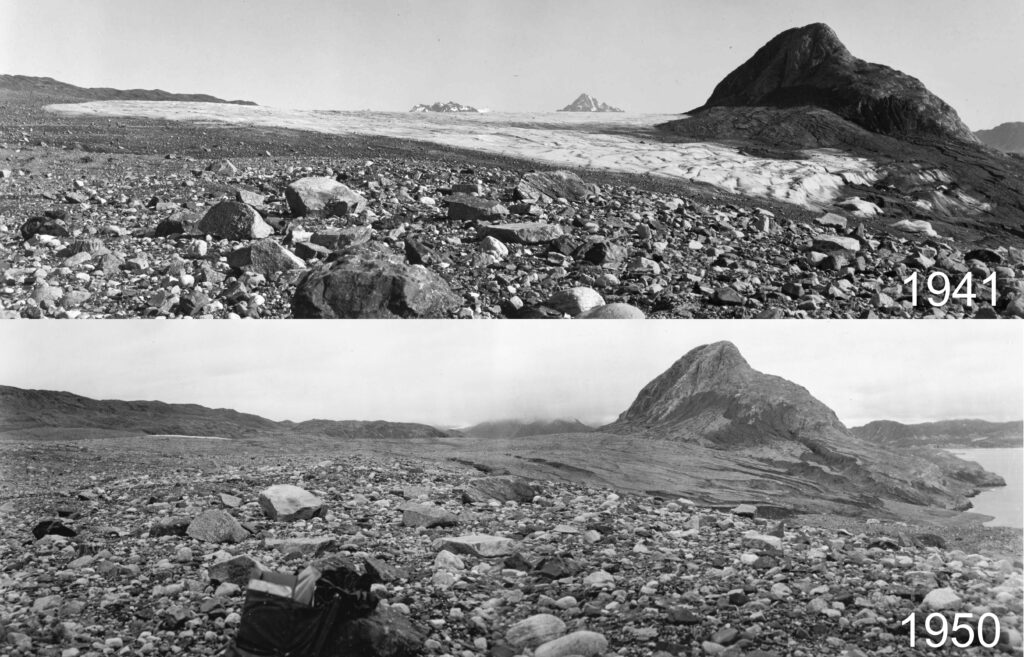
My working date of 1944 for the emergence of the Fred study site is probably a few years late. All plots were probably exposed before 1942.
There is very little evidence of plant life even in the 1950 photos. There is also no evidence of nearby shrubs that could have supplied seeds, but 1950 photos from Field’s Stations 3 and 11 south of The Nunatak show plenty alders and some a meter or more tall. So tiny alder seedlings are probably present in the 1950 photos at Fred, and before 1960 there were a hundred cottonwood seedlings per hectare (according to data from the plots).
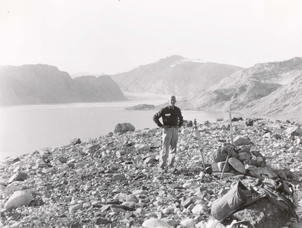
The cairn near plot 3 remains a mystery. A few of Field’s photos show his cairns, and they never look like the little one by plot 3. The first thing I will do if I ever get back to Fred is to find the cairn at Station 6. One photo in the NSIDC archive is labeled Station “6A” and might be taken from the cairn near plot 3. There must be a good map of all the photo stations used by Field. I am looking forward to seeing that someday.

Also, lemme know when you’re ready to locate the Station 6 cairn. I’ll bring the Snickers bars.
The man built serious cairns. So are you amending Fred emergence to 1935? -Lewis
Naw – your original date of early ’40s is probably good, no?
Oh, and yes that’s definitely Field in Fig. 8.
I should probably go with all sites exposed by 1942. Average exposure date for the 10 sites 1940.
In 1984 Ian Worley wanted us five Field Naturalists in Burlington to travel down to Great Barrington, Massachusetts to meet with Field. I regret that we never did.