
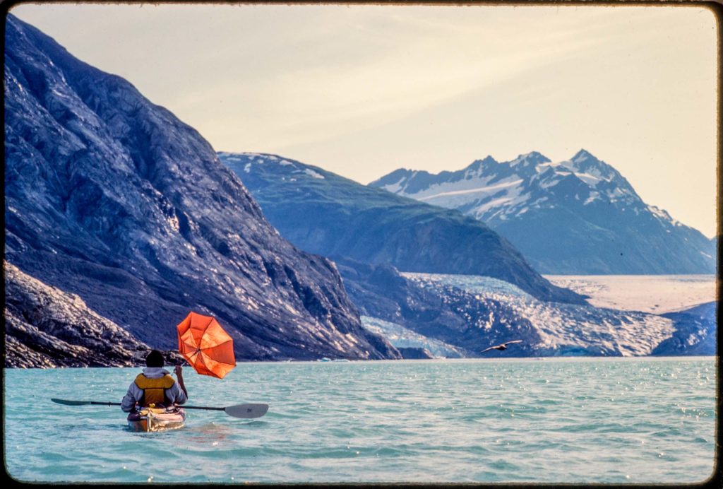
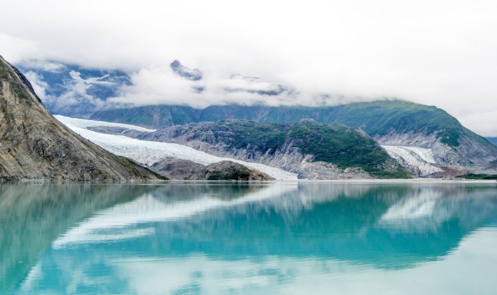
I saw Riggs Glacier on my first trip to Glacier Bay in 1984. Of the three tidewater glaciers in Muir Inlet at that time, only McBride Glacier reaches sea level today. In 1990, as one of the final field tasks for my dissertation, I established permanent study plots between Riggs Glacier and Muir Glacier. This summer Galen and I used old sketch maps to find all five of them and recorded GPS coordinates.
We also repeated some photographs from previous visits to the plots. The corners of my plots are marked with small cairns and rebar stakes which make it easy to take a photo that can be repeated precisely. I place a tripod over a corner cairn and point the camera so another corner cairn is in the center of the photo. I try to do this when a tape is laid out marking the boundaries of the plot. In some of the photos below, the tape marks the boundaries and also the lines dividing the plot into halves or quadrants (for sampling).
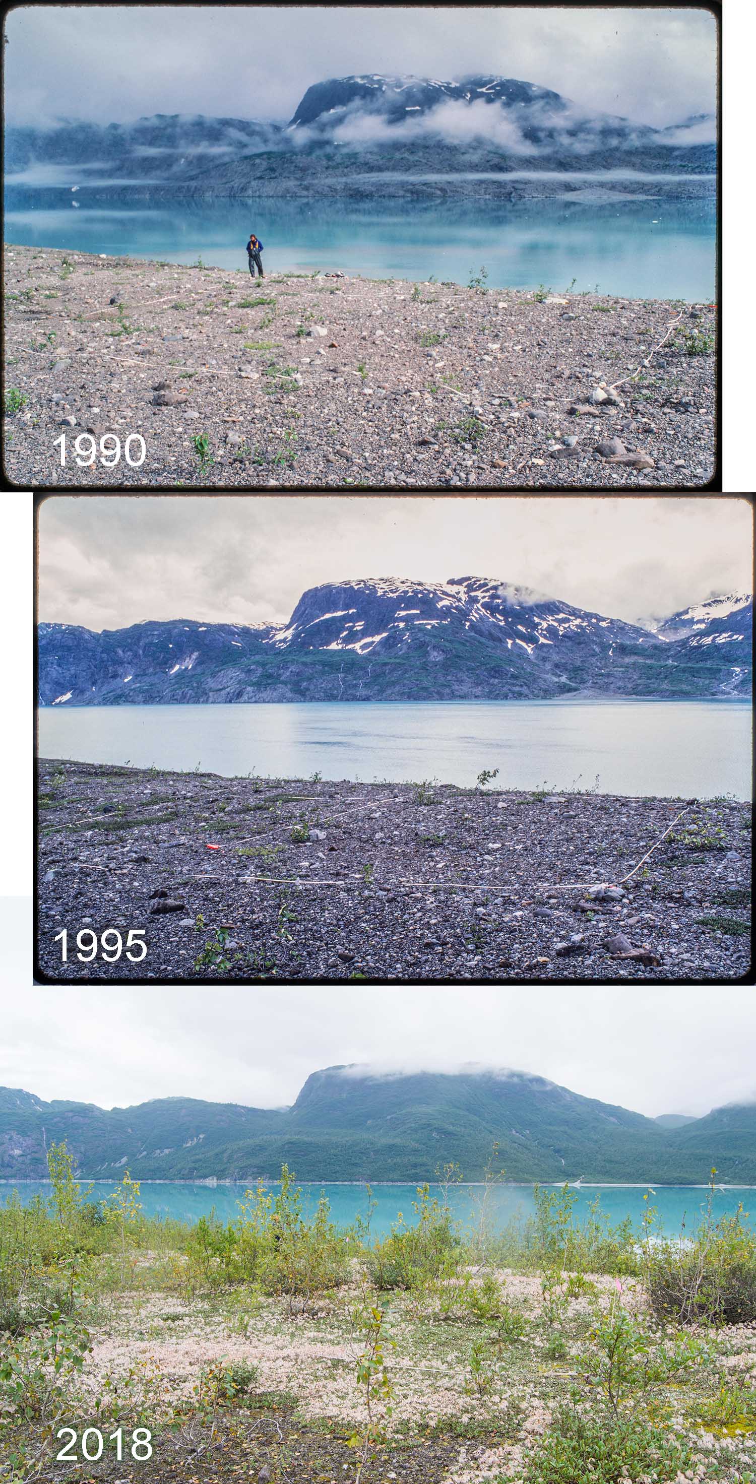
This surface was exposed by the retreating Muir Glacier in 1968, so it was 22 years old in the 1990 photos. Dryas drummondii has been the star plant for the entire history of these plots. The five plots measure 15m x 20m, and in 1990 the average number of Dryas plants per plot was 382, the most abundant plant in the plots. The spreading, carpet-like Dryas plants had coalesced by this year so I couldn’t count them, but Dryas covered 80% to 90% of each plot. The feathery fruits ripen in late summer, and the fuzzy tan ground cover in the photos is all Dryas.
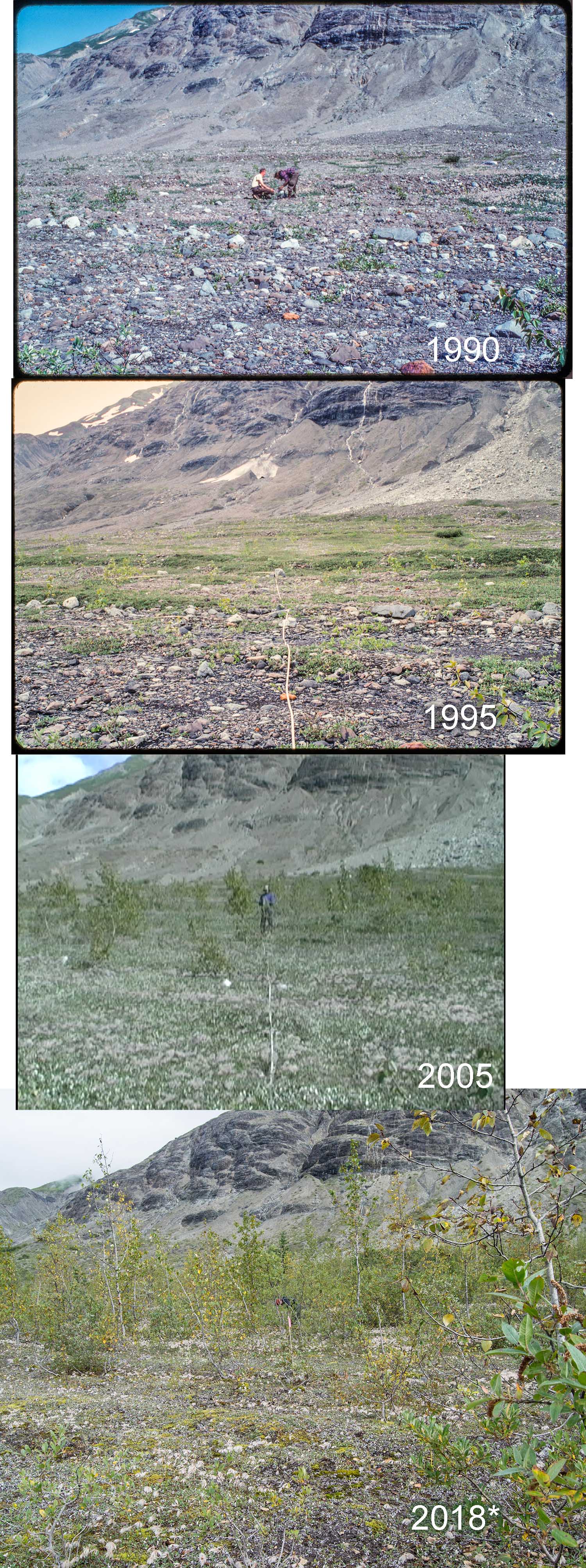
Plants were counted and measured in 1990, 1995, and 2018. In 2005 I just took photos, but I was transitioning from film to digital, and the camera I had was a miniDV video camera. So the 2005 photos are extremely poor quality. They still provide some good data about Dryas, which in one plot had covered most of the ground surface less than 40 years after the ice exited the site. In Plot 4 (above) Dryas cover decreased between 2005 and 2018 even where no taller plants shaded it. I have only photos (no 2005 data) to confirm that, but it seems like an interesting result.
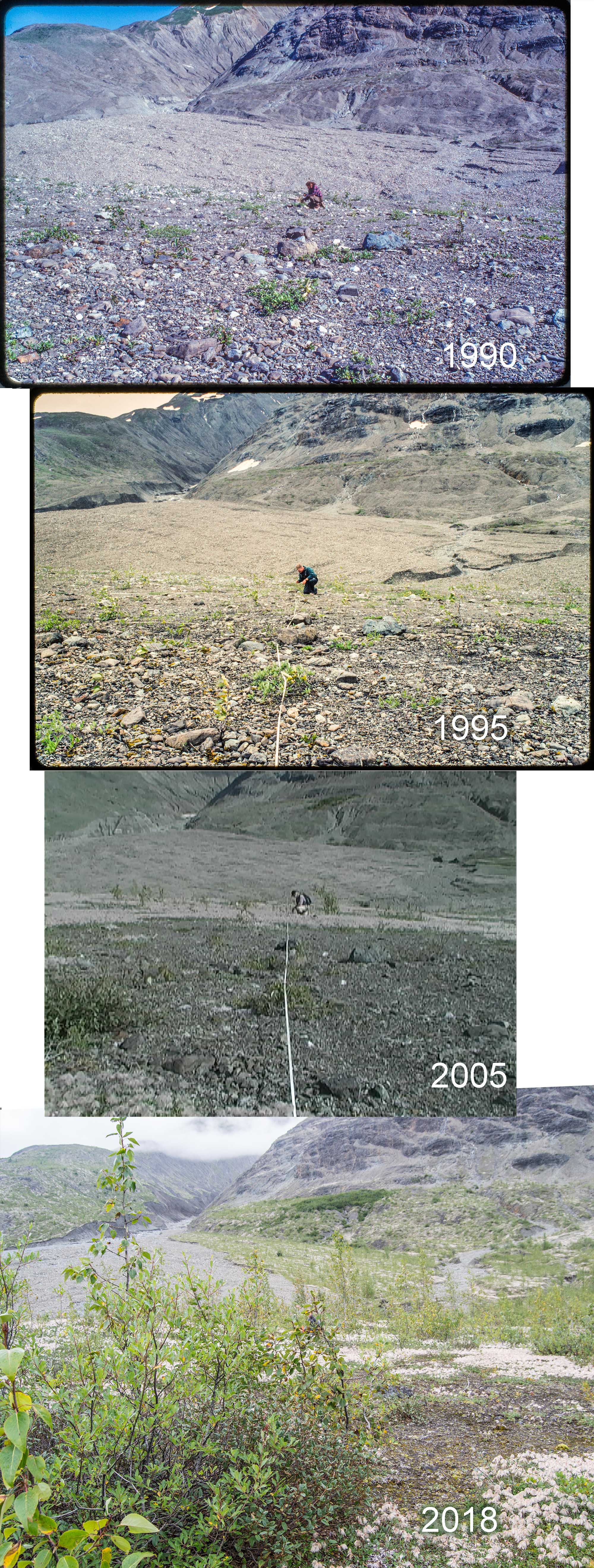
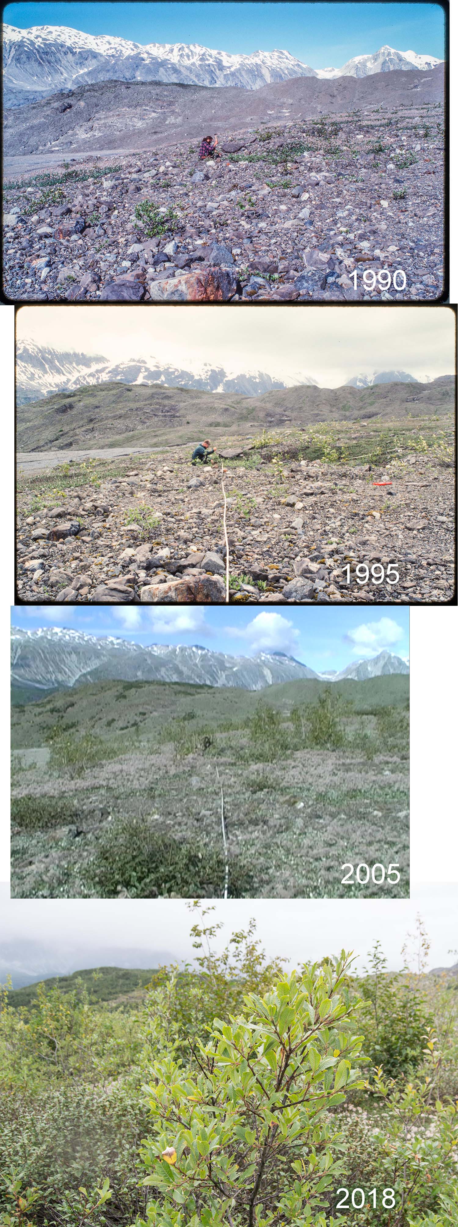
In addition to GPSing and photography we also documented the number or percent cover of about 30 plant species in each plot. We learned something very new about the trajectory of primary plant succession at this site, and it is evident in the photos above, although not at all conspicuous. I am assembling some new photo comparisons to highlight this finding, and will post them soon. Stay tuned.
I wish the outwash would stabilize quickly enough to prevent Plot 1 from falling off the cliff. I don’t have much hope.
The two green dots in the 1995 photo are definitely the mother alders for that big patch. The two alders are also present in the 1990 photo. It’s rather mysterious why alder has done so well in just a few places on that side of the inlet.
Uphill of Plot 1, look how the right-hand side of that outwash is stabilizing. See also the developing alder(?) patch above it.