Indiana Bats and the Grotto of Doom

More than a year ago I took a hike along the Green Mountain Escarpment (Vermont) in search of an old mine. I had read in an old report that Indiana bats hibernated in a mine in the area, and that was enough of an excuse to go exploring. I watched a bear and two cubs for 15 minutes but never found a mine. It was a pleasant hike along old logging roads through private property. No one lived on the several properties I traversed, none of which was posted.

Figure 1. This six acre wetland is at the base of the steep, rocky slopes I was exploring for a mine. Although I found nothing on the slopes resembling a bat hibernaculum, this wetland looked like excellent foraging habitat for bats. Plants in bloom include Canada goldenrod, jewelweed, boneset, joe pye weed, and New England aster. September 11, 2020.
Continue reading “Indiana Bats and the Grotto of Doom”

More noise, fewer bats

After 12 nights of recording bat calls near an Indiana bat maternity roosting colony, we deployed the AudioMoths for a week at the vernal pool where we recorded bat calls in August. Instead of putting two AudioMoths at the vernal pool, we put one by the pool and two in the forest surrounding the pool. One of the forest AudioMoths recorded nothing (a battery was inserted backwards), so we got data from only one non-pool AudioMoth.

Figure 1. Vernal pool MLS619 (Bridport, VT) on September 23, 2021 at the end of a week of recording bat calls. There was no standing water in the pool but the liquid mud was 6 inches deep. This might be as low as the water level gets in the pool this year (it was dry and firm last October). There were a few inches of water in the pool at the beginning of the AudioMoth recording on September 16.
Continue reading “More noise, fewer bats”

Maternal roosting

Indiana bats live throughout the US Midwest and into New England. In winter they gather in a small number of caves where as many as 50,000 bats may hibernate together. This makes the population vulnerable to vandalism and since 1967 the Indiana bat has been on the US endangered species list. It was listed as Vermont’s first endangered species in 1972. Communal hibernation also makes bats vulnerable to the spread of white-nose syndrome and Indiana bat populations have declined moderately since the disease appeared in 2006.

Vermont is at the northeastern edge of the Indiana bat’s range where it has been observed foraging and raising young throughout the southern Champlain Valley. About 10 maternity roosting colonies where females raise their pups have been documented in Addison County. Female bats select forested sites with large trees and spend the day under loose bark with their single pups and forage at night for flying insects within two or three miles of the roosting trees.

Figure 1. A shagbark hickory tree (Carya ovata) near the site of a known maternity roosting colony of the Indiana bat in Addison County. Female bats and their pups spend the day under the loose bark on living and dead trees of this and other species.
Continue reading “Maternal roosting”

Sound data

Part of the Vermont Center for Ecosystem Studies Vernal Pool Monitoring Project includes audio recordings to document the first calls of frogs at the pools. This year they started using AudioMoths to make the recordings. AudioMoths are open-source data loggers with a low-power sleep mode, real-time clock, microSD card slot, MEMS microphone, and circuitry to support audio capture. AudioMoths can be configured to automatically save audio recordings on a custom schedule. The AudioMoth software and hardware are well thought out and the audio quality is very good (see audio file below). The AudioMoths were deployed at about 50 Vermont vernal pools in weather-tight cases (Figure 1) and recorded for a few short sessions every night for several weeks in the spring.

Figure 1. The AudioMoth in a weather-proof case deployed at vernal pool NEW370 (near East Middlebury) between March 13 and May 8, 2021. It was configured to record for 10 minutes four times every night and save the wav files to a microSD card. The white plastic and foam is a rain hat which kept the AudioMoth drier but might have amplified the sound of big rain drops hitting it. April 11, 2021.
Continue reading “Sound data”

New Pool

Ned and I have been monitoring a second vernal pool this year. The new pool is in Bridport on the southern extension of Snake Mountain. It is right in the middle of the Champlain Valley, but up on a rocky ridge. The pool is almost twice a big as our other one and a foot deeper. It is lower in elevation at 570 feet above sea level (the other one is in the foothills of the Green Mountains at 1260 feet a.s.l.).

The most important difference between the two pools might be chemical. The new pool sits between two ledges of Middle Cambrian dolostone or dolomitic quartzite, limey rocks which enrich the soil with calcium and magnesium. The old pool is surrounded by Cheshire quartzite and the vegetation there (red oak, beech, birch) suggests that the soils are not rich in calcium.

Snake Mountain and its southern extension are mapped as Monkton quartzite which includes “well-bedded dolostone” and “dolomitic quartzite.” These rocks form the ledges by the new pool. More massive Winooski dolostone overlays Monkton quartzite and is exposed to the east of the new pool’s ridge.
Continue reading “New Pool”

Bat plus ultra

This summer there was a bat or two flying over the yard every evening, so I started lying in wait for them with a camera. For about 15 minutes at dusk there was enough light to capture a bat silhouette if I used a good DSLR at the highest ISO. The photos were fun, but you can’t tell what kind of bats they are from the photos. Someone suggested using a bat detector — an ultrasonic microphone that listens to the otherwise silent calls of bats and even suggests which species are calling.

Unidentified bat in pursuit of a dragonfly in my yard at 8:24 PM on August 8, 2020. Nikon D3100, Nikkor 1:2.5 105mm lens, 1/2000 second, f/2.5, ISO 12800 (Hi2).
Continue reading “Bat plus ultra”

Go Orioles!

A month ago, on May 10, I noticed a wad of dry grass in the birch tree outside my home office window. It was obvious what it was, and a noisy pair of Baltimore orioles soon confirmed that a nest was being constructed. Four days later the nest building seemed to be mostly completed, and I stopped taking photos (click them to enlarge).

Female Baltimore oriole weaving a nest in paper birch tree
May 11, 2012. Female Baltimore oriole weaving a nest in a paper birch tree
Continue reading “Go Orioles!”

A clipboard-free zone

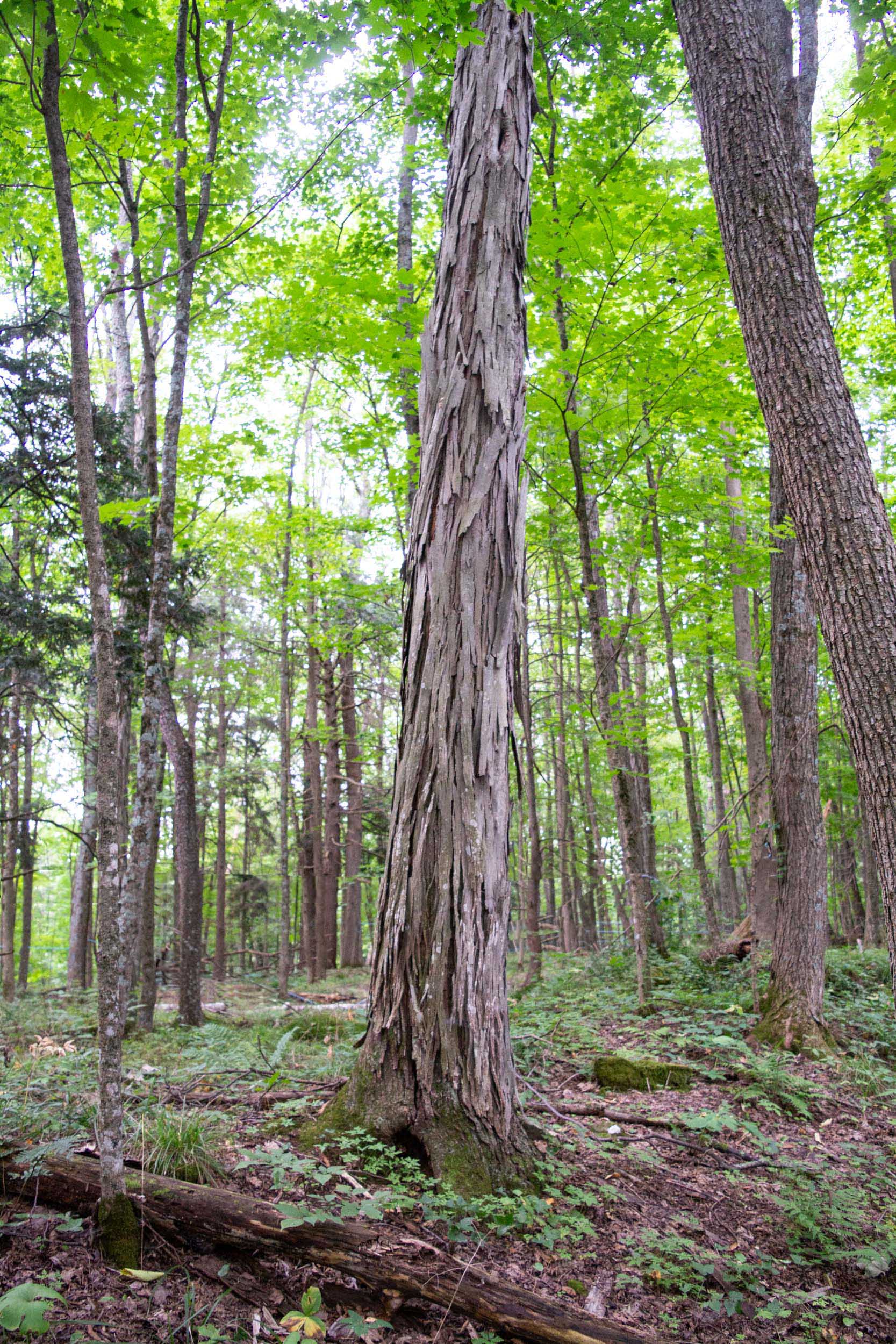
After it warmed up a bit yesterday, I tried out my new digital field protocol on a wildlife tracking transect behind my house. My goal was to record the identity, quantity, and location of large animal tracks in the snow which crossed the path I was walking (my “transect”). I am trying to develop a protocol for purely digital collection of these data.

Three types of data must be collected: date, location, and observation. The date (and time) is easy because most digital data has a time stamp. Collecting location data requires  a GPS enabled device. To collect the wildlife observation information in digital form requires manual data entry (keypad or touchscreen) or audio or video collection. I have seen some smart phone apps which could be bent to this purpose, but I don’t have such a phone, so the easiest route for me is audio, although this will require later translation to textual data.

[Update: I abandoned this three-device protocol after a few trials and now use only the GPS to make waypoints for each observation. The new method is described here.]

Linking the GPS data with the audio observations is the hard part. There are mature protocols for attaching GPS coordinates to image files, but not to audio files, although it should be easy to implement this on a smart phone. I used a digital photo as a link between the GPS data and the audio file. A key component of my protocol is a program which attaches GPS coordinates to photo files and can also associate an audio file with each photo. The program can also create a KMZ file or GIS shapefile which includes the georeferenced audio files. The program is RoboGeo which costs $80. This is the program that I use to georeference photos that I have taken while the GPS is recording a tracklog. Continue reading “A clipboard-free zone”