Dry, with a twist

It has been three weeks since I last visited the vernal pool and installed the Version 4 (Ultrasonic) water depth data-logger. I was curious to learn whether the new logger was working and decided to collect the data and replace the batteries in both loggers — the Version 3 logger (laser rangefinder) had also been running since the last visit.

Data loggers near the lowest point in the vernal pool and royal fern where six to 10 inches of water are present for much of the year. July 10, 2020.
Continue reading “Dry, with a twist”

Venal Pool

Daytime high temperatures in the first half of June in Middlebury are historically in the 70s F, but so far this year half of the days in June have been in the 80s F. Historically in June, Burlington gets 2.5 inches of rain by the 20th, but so far has gotten only 0.4 inches (last year they got 3.8 inches by now). So maybe I should not have been so surprised on Friday to find that our vernal pool was completely dry. Ned and I visited to collect data from the loggers and install a new version of the DIY water depth and water temperature logger. The new logger might not have much work to do for a while.

Figure 1. This clearing in the woods was a vernal pool a couple of weeks ago. Click to embiggen.
Continue reading “Venal Pool”

Ultra depth sounding

Six weeks ago I installed version 3 of a water depth data logger in the vernal pool we are monitoring. I liked that logger more than the earlier versions because the parts cost $35 instead of $50. After posting about it I noticed that many Arduino hobbyists measure distance with an ultrasonic rangefinder instead of the laser rangefinder I had used, so I ordered a few HC-SR04p rangefinders.

The top of a peanut butter jar with an ultrasonic rangefinder (HC-SR04p, top), a temperature, humidity, and pressure sensor (BME280, left), and the cable for a water temperature sensor (DS18B20, right). The ultrasonic sensor sends a sound from one side (left) and senses the reflected sound on the other side (right).
Continue reading “Ultra depth sounding”

Selfie at the pool

Vernal pools are enchanting places, the breeding habitat of dozens of animal species that would otherwise be absent or rare in a forest. But it is a challenge to take enchanting photos of vernal pools. If you stand far enough away to include the entire pool, lots of trees will probably block your view and the photos don’t seem to capture the essence or importance of the place.

The Ron Thompson Gangster Carp Pole is a 36 foot long fishing rod manufactured in Great Britain for catching fish in ponds. I don’t understand it either. With the top two of the eight sections removed it will support a camera about 24 feet above the ground. Photo by Ned, May 3, 2020.
Continue reading “Selfie at the pool”

Visit 3, Version 3

On May 3 we made the official third visit to the vernal pool we are monitoring. During this visit we are supposed to collect the frog call recorder and do the final surveys for amphibian eggs and aquatic invertebrates. At the second visit we failed to find any fairy shrimp, so I was looking forward to adding them to my crustacean life list. I was also looking forward to collecting the microSD card from the data logger we had installed on April 17 and examining two more weeks worth of data. And at the last minute I decided to bring a 24 foot-long pole and get some “aerial” photos from above the pool. By the time we left the pool to hike back to the road, I was dismayed at my lack of success at most of these goals.

Ned brought his waders and I didn’t, but somehow I was the one wading out to install the new version of the data logger. Photo by Ned, May 3, 2020.
Continue reading “Visit 3, Version 3”

Vernal pool data logging

Vernal pools are little ponds which have no permanent stream entering or exiting. They fill with snowmelt, rain, and groundwater, but in droughty years they often dry out before summer’s end. These characteristics prevent fish from living in vernal pools (fish can’t get to them and fish couldn’t escape when they dry out). This allows animals with little defense against hungry fish to prosper in vernal pools, especially if they can also survive when the pool dries out.

Ned is installing the data logger on a wooden post in about 20 inches of water. There is still some ice at the edge of the pool. March 28, 2020.
Continue reading “Vernal pool data logging”

Bridgewater Hollow BioBlitz

This past Sunday, six people with smartphones and one guy with a pad of paper descended on a 350 acre property in the Green Mountains near Bridgewater Hollow, Vermont. The smartphone people used iNaturalist to document about 300 observations of plants and animals (and quite a few things that might be neither, like slime molds and fungi). The paper guy was Brett Engstrom whose list of vascular plants is probably longer than the list of all the species that everyone else compiled. 

Continue reading “Bridgewater Hollow BioBlitz”

Arrested alder

Very few Sitka alders established during the first two decades after the retreating Muir Glacier exposed my youngest study site (Site 1) at Glacier Bay. Older sites in Muir Inlet had abundant alder plants by the time the surface was 20 years old, and it seems likely that the difference was caused by a shortage of alder seeds arriving at the young site. Today there are a few alders at Site 1, and what they have done (or not done) in the last three decades suggests a more nuanced explanation.

View from Plot 1 at Site 1 in three different years. Two Sitka alder plants visible in 1990 (ellipse) produced seeds which formed an island of alder 80 m across by 2018.

Continue reading “Arrested alder”

When alder can’t keep up

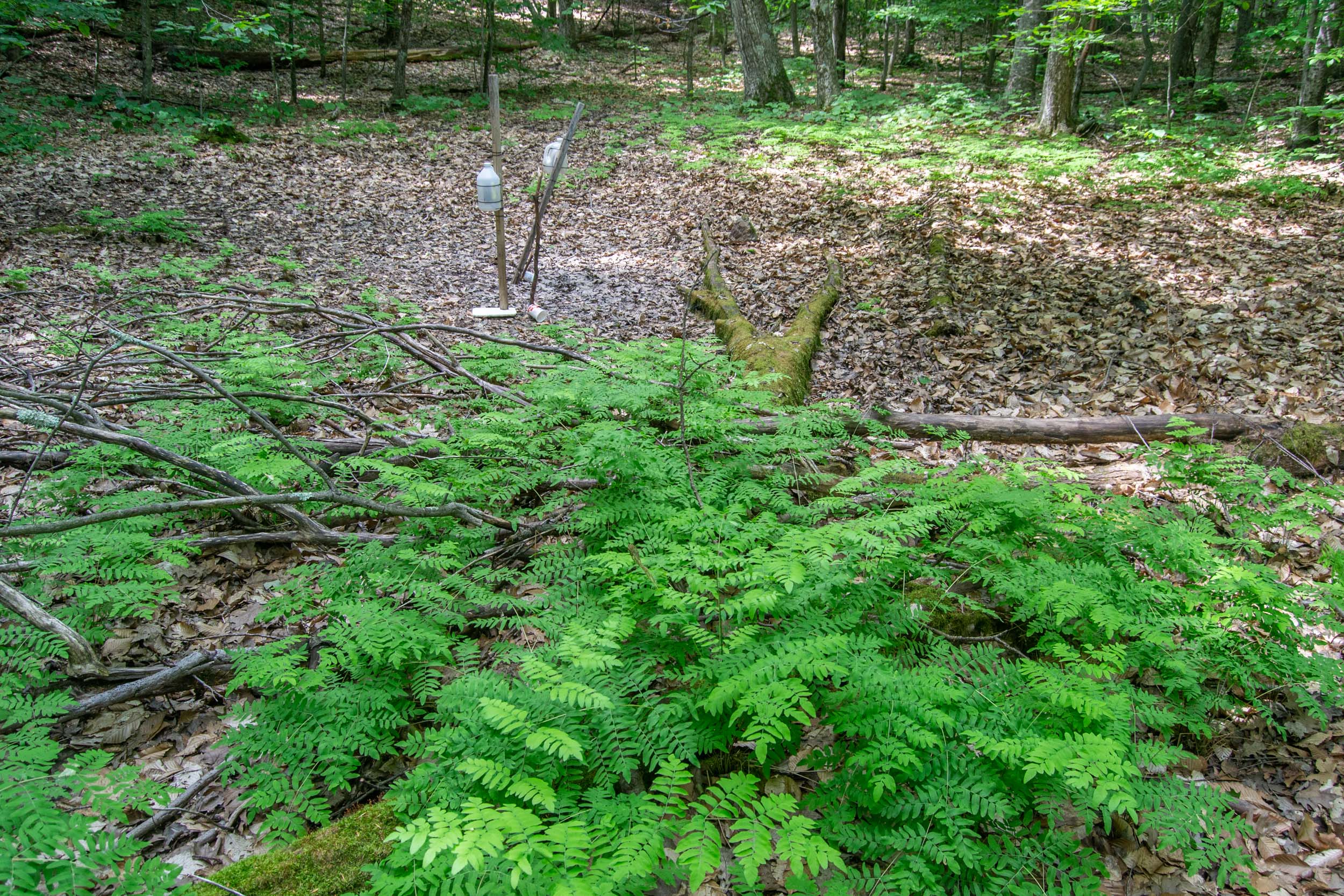
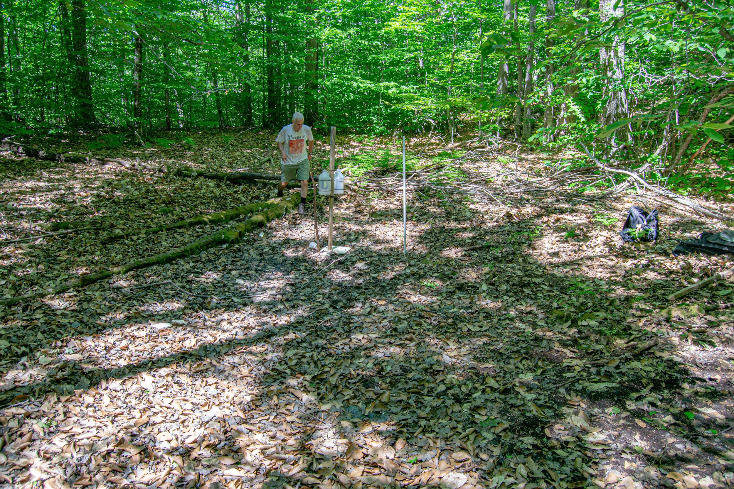
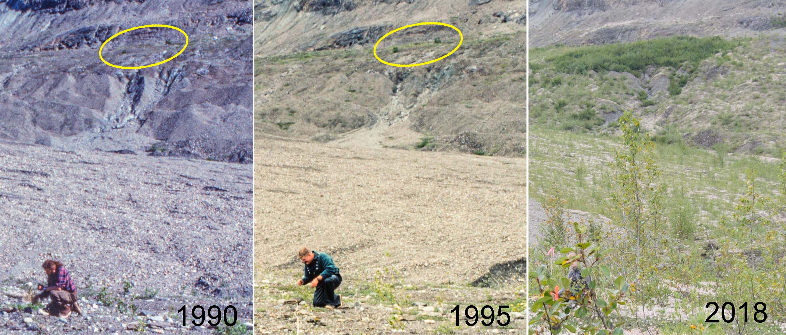
The young vegetation on the north side of Upper Muir Inlet in Glacier Bay National Park is developing dramatically differently from older vegetation a few km away. Today, five decades after the retreating Muir Glacier exposed my youngest study site (Site 1) to plant invasion, it supports an open shrubland of willows with most of the ground still carpeted with low-growing Dryas drummondii. At the same age (in 1995), the next older site (Site 2) had no Dryas and was a dense thicket of 6 meter tall Sitka alder shrubs. The distinct successional pathways being followed at these sites have critical ecological differences (e.g., alder is an important nitrogen fixer) and suggest that inferring ecological change from a sequence of different aged sites in this part of Glacier Bay does not work.

Can seed rain explain this?

My favorite hypothesis to explain this is that early seed rain of alder differed between the two areas. Ice margins in Glacier Bay have been retreating to the north for almost three centuries, and invading newly exposed terrain requires that plants can migrate as fast as the ice retreats. Alder was apparently doing a good job of chasing the ice along most of Muir Inlet where my reconstructions of invasion histories at four study sites confirm that alder was an important early invader. Continue reading “When alder can’t keep up”

Vintage chronosequence

In the late 1980s, I established vegetation study plots at 10 sites along the eastern side of Glacier Bay in southeastern Alaska. These sites were more or less evenly spaced between the retreating Muir Glacier and the terminal moraine which the Glacier Bay ice had built at the end of the Little Ice Age. The youngest site had been exposed by retreating ice in 1968 and the oldest site had been exposed around 1770 soon after the ice melted back from the 1740 moraine. So on average the age difference between “consecutive” sites was about 20 years (202 years ÷ 10).

There are three approaches to learning things from this series of different aged study sites:

  1. You can assume the sites form a chronosequence so that changes inferred from the series of progressively older sites are also changes that have happened at individual sites. According to this assumption my older study sites would have passed successively through stages similar to all of the younger sites.
  2. You can be less trusting of the chronosequence and use evidence at each site to reconstruct its developmental history. This history can be compared to younger sites and to their histories to test the above assumption. Tree rings and paleoecology are potential sources of information about vegetation history at individual sites.
  3. You can wait until each site attains the age of the next older site at the time of establishment. At that time Site 1 should look just like Site 2 did when you started, and so on. If the chronosequence assumption is valid, each site will have aged predictably and you will have a new, slightly older, and now verified chronosequence. You can have some confidence that inferences about change made from that chronosequence are valid.

Continue reading “Vintage chronosequence”

Documenting Dryas

I saw Riggs Glacier on my first trip to Glacier Bay in 1984. Of the three tidewater glaciers in Muir Inlet at that time, only McBride Glacier reaches sea level today. In 1990, as one of the final field tasks for my dissertation, I established permanent study plots between Riggs Glacier and Muir Glacier. This summer Galen and I used old sketch maps to find all five of them and recorded GPS coordinates.

Lewis testing his downwind rig at Riggs Glacier. Kodachrome, July 1984

Continue reading “Documenting Dryas”

Cairn photo

My second youngest study site at Glacier Bay is on a bench of outwash about 150 feet above Muir Inlet. Before alders covered the young surface in the mid 20th century, the bench offered a good view of the retreating face of Muir Glacier to the north. William O. Field established a photo station there maybe in the late 1940s and marked the spot with a cairn assembled of several large rocks. I found the cairn in 1988 when I set up my study plots in a dense thicket of alders.

A photo station cairn built by William O. Field near one of my study plots. This might be Field’s station “6A.” Kodachrome, May 1995

Continue reading “Cairn photo”