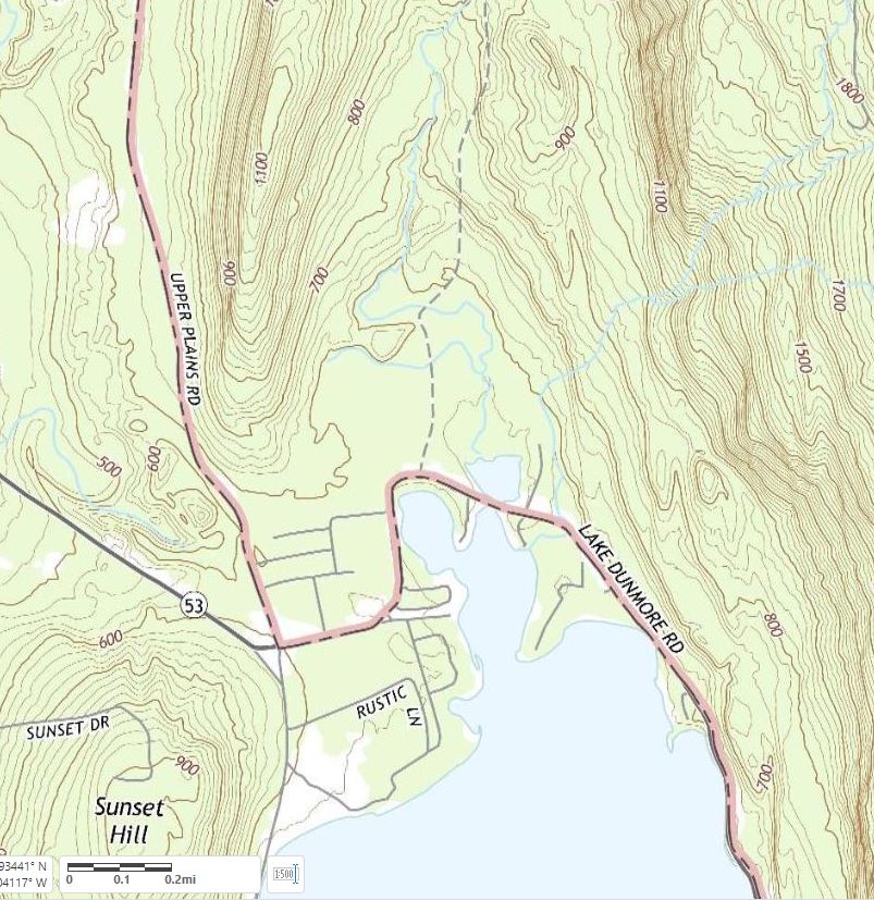
Below is an embedded Google Earth KML tour which introduces the relationship between the Salisbury Town Forest and some glacial features.
Below is an embedded Google Earth KML tour which introduces the relationship between the Salisbury Town Forest and some glacial features. It includes a two minute flying tour with audio narration. Your computer must have the Google Earth browser plugin installed to play the tour.
Click here to open the KML tour in a new browser tab. Then click the “Play Tour” button (upper right) to start the tour. Your computer must have the Google Earth browser plugin installed to play the tour. (Note: If you enter a gigapan, the “Exit Photo” button is partly hidden under the “Terrain” button. Click the exposed edge of it to exit the gigapan.)
The controls at the lower left of the tour window can be used to stop and start the tour, and when the tour is stopped you can navigate around the landscape and view the photos and gigapans. The links within the gigapan popups are not a good way to view the gigapans. Continue reading “Town Forest KML tour”