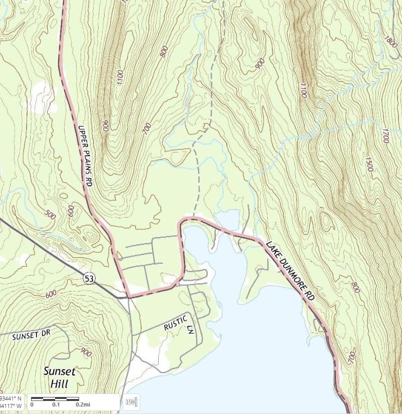
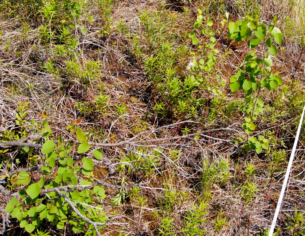
In the late nineteenth century, hand drawn “bird’s-eye maps” were a revelation to earthly New Englanders. When exotic hot air balloons were the only way to gain such a perspective, enterprising artists just imagined what a bird might see. The customers for these maps lived and worked in the buildings depicted, so these are probably placed with some accuracy, relying on existing maps for data. It is the details of the rest of the landscape that were recorded nowhere else. In the 1889 drawing below, cleared fields, orchards, and shrubby growth nearly to the top of Hogback Mountain confirm the wisdom that in 1850 the entire slope, like others all over Vermont, was probably cleared of trees. Today, the young ages of the trees tell the same story, but an old bird’s-eye view is still a revelation. Continue reading “Kite’s eye view”