
Ever since I backed the balloon mapping Kickstarter project, I have been thinking about what to do with the matched pair of visible and infra-red cameras I will receive next month. I’m intrigued by the idea of making NDVI images by combining information from the two cameras. NDVI maps of vegetation can reveal new ecological patterns, but I still have no idea what I might learn with this tool. I have also been thinking about how to deploy the cameras to take aerial photos. The level of my Kickstarter pledge entitles me to a kit with cameras and other things, but it is not yet clear what other things will be included. So when it was 50° a couple of weeks ago and tolerable to work in the garage, I started playing with a piece of one of the aluminum storm window frames that were thrown behind the shed. The goal was to make a cheap, lightweight, self-leveling rig to hold two cameras pointing in the same direction: down. Continue reading “Test Flight”
Tag: KAP
Return to the Marsh

Above Crown Point
In honor of the opening of the new Crown Point Bridge across Lake Champlain (scheduled for Monday, November 7, 2011) I took my last free ferry ride and flew the Canon Powershot S95 over the Crown Point State Historic Site for three hours last week. The south wind was strong and steady at about 15 mph, but the Levitation Delta kite wandered a bit much to get good coverage for easy panorama stitching. I learned some new finesses of Microsoft ICE and was able to make some decent scenes with as many as 28 stitched photos, but could not construct a half-spherical panorama.

Otter View Park
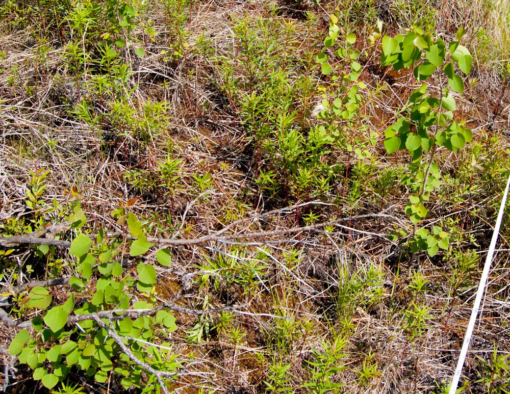
It didn’t seem windy enough, so I plucked dried heads of orchard grass and tossed them into the air. The live feed at WeatherUnderground.com had been reporting 10-12 mph NW winds at the Ralph Myhre Golf Course a mile away, but the grass was falling almost straight down here. On a knoll in the center of the field I felt a breeze, so I took off my pack and assembled the nine foot Levitation Delta kite (with wind less than 15 mph, the Sutton Flow Form 16 would stay in the pack). The delta flew out of my hand and climbed easily to 100 feet. It was flying to the south, not to the east over the cattail marsh I wanted to photograph. Otter View Park in Middlebury is the focus of Galen’s community service project, and he has been describing the plant communities in that marsh. I would not be able to photograph much of it today unless the wind shifted. Continue reading “Otter View Park”
NOrtho Photo
While in Alaska in June I visited some mountain treeline study plots we established in 1998 to describe and monitor the population of white spruce at the transition between subalpine forest and alpine tundra. I searched the plots for new spruce seedlings and remeasured the ones that had been previously located and marked. A wildfire burned through some of the plots in 2004, and a new tree species has since established where the organic soil was consumed. Thousands of seedlings of quaking aspen now grow in the plots, and I recorded their number and height in subplots. These are healthy seedlings growing in the tundra where, prior to 2004, the only trees were a few stunted spruce. This invasion will be either a short-lived experiment that ends when the aspens try to grow taller than the winter snowpack, or the start of a novel treeline community. Monitoring these plots will eventually reveal how this plays out, so in the meantime counting and measuring a few things is considered to be science. Continue reading “NOrtho Photo”
Giant Mountain
Somehow I convinced myself that the 4626 foot summit of Giant Mountain in the Adirondacks would be a good place to take some photos with a camera hanging from a kite. Yesterday I walked up there with two kites, three cameras, two KAP rigs, 1000 feet of line, and one sandwich. I think it might be possible to fly a kite up there sometime, but most of the time the wind on a mountain peak is not just blowing horizontally, it is moving up slope. This was obvious when I easily got the delta kite in the air from the summit and it tried to fly into the wind, over my head, and down the slope behind me. I realized that kites are designed to fly in wind that is perpendicular to gravity. When this geometry is lost, erratic behavior results, and the kite landed in a tree twice. Continue reading “Giant Mountain”
Little Tupper #5
Last weekend we made our fifth annual paddle trip to Little Tupper Lake with the same people, the same menu, and (as always) a new campsite. It was the second year we had to take a ferry from VT to NY instead of the Crown Point Bridge which is being replaced. The Photosynth panorama below of the new bridge was stitched from 12 handheld photos taken from the ferry at the dock.
I have made two Picasa albums from the trip. One has photos taken by a small camera attached to a kite line, and the other has photos taken by a DSLR which stayed close to, and more securely above, the lake surface. Below is a slide show from the KAP album. Continue reading “Little Tupper #5”
Bread Loaf

Photosynth Thesis
A couple of weeks ago I took some photos and video from the KAP rig lofted on the Flow Form 16 kite above a clearing behind the house. I did not get far stitching the images into a panorama, and had to move on to other business. Since then I have used Photosynth, which will not only display stitched panoramas, but the multiple unstitched overlapping images. The photos do not need to be taken from the same place, so KAP images should be well suited. Photosynth will create and display a 3D model of the surfaces in the photographs. The model consists of the points that Photosynth has determined are shared in two or more photos, and the 3D plot of those points based on photogrammetric analysis of the images. You can toggle a display of the point cloud in the Photosynth viewer below. Continue reading “Photosynth Thesis”
The final flight of the Fled

Around the turn of the 20th century, a postcard was made with a view of the village of Salisbury, Vermont from a field on the side of a hill. Repeating this photo would highlight the dramatic changes since then, such as the draining of “Mirror Lake,” and the rampant increase in shade trees in the village. But trees also cover the hillside now, so it is not possible to reoccupy the original camera location. I have had this project in mind as I practiced kite photography, wondering how I could fly a camera over the trees close to the proper place. When Friday afternoon arrived sunny and breezy, I hopped in the truck and headed to Farwell Lookoff, the site of an old cabin at the top of that same (now forested) hill. I had been there only once before, and did not remember whether the cabin occupied a large enough clearing from which to launch a kite. The jury is still out on whether it does. Continue reading “The final flight of the Fled”
Built to fly
I awoke this morning to see that not a leaf on the hornbeam was fluttering, and my head fell back to the pillow in dismay. This was a sure sign that I had a new hobby. It was the KAPer’s lament: no wind. I had flown a camera on a kite for two days in a row, and the thought of a calm day was discouraging. But I had started a stitch of yesterday’s aerial panorama before I went to bed, so I got up two hours before Galen had to be at school to check on it.

I built my first KAP rig last week from one of Brooks Leffler’s kits. I have never built anything with servos and dip switches and carbon fiber legs, but I got to use my Dremel tool, so it felt safe. Brooks has designed an elegant system for suspending a camera so that it can point in any direction. The pointing and shutter release are done either at predetermined intervals (autoKAP), or by radio control from the ground. The kit I built had servo motors for both panning and tilting and electronics to automatically point in as many as 76 directions and take photos potentially covering a downward-looking half-spherical view. By replacing the tiny circuit board with a radio receiver, the motors and shutter could be controlled via a transmitter on the ground. It is based on the RC airplane/car/boat/helo standards, so compatible equipment is readily available.
.
My Flying GigaPan
It took a couple of weeks for Jeffrey Warren’s message to sink in. At first I thought his workshop on balloon aerial photography at the Fine gigapixel conference in November promoted a fringe pursuit – lofting cameras on tethered helium balloons to make better maps than were currently available. But this pursuit emerged from the elegant convergence of modern camera technology and traditional lofting methods (balloons and kites). It was now possible for anyone to make good, current “maps” from stitched, low-elevation vertical photographs. Jeffrey is committed to inventing workarounds to the technological and financial obstacles that would otherwise put this process out of reach of the communities that might benefit from good maps. This was the focus of his thesis at MIT, and he has had great success bringing communities together around these new map images and the experience of making them. He has made the objective so compelling, and the process so simple and inexpensive that I soon realized I had to try it. Continue reading “My Flying GigaPan”