Kite’s eye view

In the late nineteenth century, hand drawn “bird’s-eye maps” were a revelation to earthly New Englanders. When exotic hot air balloons were the only way to gain such a perspective, enterprising artists just imagined what a bird might see. The customers for these maps lived and worked in the buildings depicted, so these are probably placed with some accuracy, relying on existing maps for data. It is the details of the rest of the landscape that were recorded nowhere else. In the 1889 drawing below, cleared fields, orchards, and shrubby growth nearly to the top of Hogback Mountain confirm the wisdom that in 1850 the entire slope, like others all over Vermont, was probably cleared of trees. Today, the young ages of the trees tell the same story, but an old bird’s-eye view is still a revelation. Continue reading “Kite’s eye view”

Practice

Self portrait
I have lost a kite, but I have never lost an RC transmitter (around neck). This was taken during one of the first short-lived launches.
The winds have been light this week as the peak colors have been waning and my KAP pack has been poised by the door. I finally had to ignore the “4 mph” reports at WeatherUnderground and WeatherSpark and just go. I went to the hay field south of the Salisbury village where the south wind might push the kite toward the village center. There were some gusty spells that lifted the KAP rig just high enough so that I had to frantically reel it in when calm returned. Attaching and detaching the Picavet in a hurry requires more practice than I have had, and I surpassed my own record for making nasty tangles that included Picavet line, kite line, and alfalfa. At one point I didn’t have time to take off the Picavet as I wildly pulled the line in hand-over-hand, laying it across the field. After untangling (not my favorite thing), I called it a day, disassembled the Fled, and headed back across the field to the pack. When I got there the wind had picked up, so I assembled the Fled, threw it into the air, and had the rig attached when I noticed that I had left the RC transmitter out in the field — out in the huge field of alfalfa and grass that is at places a foot taller than the transmitter (the thing around my neck in the photo above). Continue reading “Practice”

Over Middlebury

I flew the Levitation Delta for 20 minutes before I had the courage to attach the KAP rig.

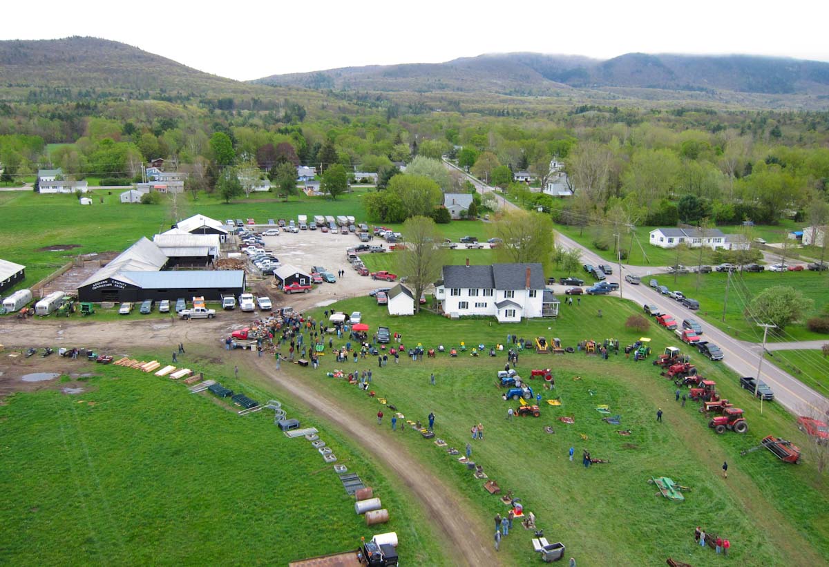
Last month I went to the Middlebury Farmers’ Market at Marble Works for the first time ever. My garden had been suffering some scurrilous blight and I was about to feed 10 people for the LEAFFEST weekend. I looked along the row of vendors to the steeple of the Congregational Church beyond some trees and realized there might be enough space to launch a kite there. A west wind would take the kite the length of the lawn and then over toward the church on the “Green,” the village commons. This could offer a unique view of the village center. But the wind almost never blows from the west here due to the north-south trend of the Champlain Valley. Other wind directions would make the flight less rewarding and the launch and landing more risky, and I had never flown a kite from such a small area surrounded by so many power lines, buildings, trees, river banks, and busy roads, so I assumed I would never fly there. Continue reading “Over Middlebury”

Chatanika Dredge

Radio Control
I flipped the joystick 1200 times to trigger the shutter (the 4 GB SD card filled up 10 minutes before I pulled it down).
The S95 captured 1170 photos in 1.5 hours while the Fled flew over the relic Gold Dredge #3 of the Fairbanks Exploration Company (F.E. Company). It was built in place in 1927-1928 and dug its own pond which it moved around until 1958. Hundreds of acres of the Chatanika River valley were turned into these concentric ridges of tailings as the placer gravels were devoured by the floating dredge and disgorged by the systematic arcs of its conveyor arm. Continue reading “Chatanika Dredge”

Unexpected Panorama

KAP over the Kame terrace from Petri's field
Note the Henry's Handle hanging from the belt. The kite line is cleated to that while I attach the Picavet and run through the pre-launch checklist.
The huge kame terraces in my town support a dry-tolerant forest of oaks, beech, and red maple, and as the new leaves emerge it is easier to tell the species apart at a distance. So I have been hoping to fly a kite over the terraces in early May and see if the trees delineated the terraces. The wind was gusty today, but it was supposed to calm down a bit in the afternoon, so I hiked up the hill and launched the nine foot Levitation delta. It was after 6:00 PM when I first triggered the S95 with the Futaba transmitter, and the light was wonderful even if the wind was not. It mostly cooperated until it slowed down enough to send me running upwind barely fast enough to keep the line out of the trees. But I had 900 feet of line out for a while and the camera was well out of the clearing were it could see the tree tops as I never had. Continue reading “Unexpected Panorama”

Sunrise Orchards

We looked into the sun a lot that day.
At midday on Sunday. With a north wind, we looked into the sun a lot that day.
There was good sun and enough wind to loft a camera on both Saturday and Sunday last weekend, and the apples were just starting to bloom. So I knocked on Barney Hodges’ back door and introduced myself. Barney bought a 200 acre dairy farm in 1974 and started planting apple trees. His son runs Sunrise Orchards now, and Barney seems quite content to be in his beautiful old farmhouse in Cornwall surrounded by thousands of apple trees that he planted. He graciously permitted me to fly a kite and take photos, and I did. Continue reading “Sunrise Orchards”

Lemon Fair

Grass fire along the Lemon Fair River, April 18, 2012. Photo by Preston Turner.
I thought I had finally done everything right. The Flowform 16 was flying steadily in a 15 mph breeze (with gusts to 20) and easily lofting the full KAP rig with Canon S95. My plan was to take vertical photos for combining into an orthophoto image of a hayfield that had been partly burned two days earlier by the farmer. Preston had posted some dramatic photos of the evening blaze advancing across the field, and the burn pattern looked impressive when I drove by the next day looking for way to get closer to it. On my return a day later, I avoided asking permission for farm road access, and just parked two miles away and walked along the Lemon Fair River. Because the good wind provided plenty of lift, I opted for the full KAP rig and radio control instead of just the camera pointed down and shooting every ten seconds. That gave me the option of also taking some oblique shots, and the 5:00 PM shadows of burr oaks and silver maples were already enticing on the new grass. Radio control also allowed me to release the shutter only when the rig was quiet between sways, and to take far fewer photos than the ten second intervalometer would have taken. Continue reading “Lemon Fair”

Test Flight

Ever since I backed the balloon mapping Kickstarter project, I have been thinking about what to do with the matched pair of visible and infra-red cameras I will receive next month. I’m intrigued by the idea of making NDVI images by combining information from the two cameras. NDVI maps of vegetation can reveal new ecological patterns, but I still have no idea what I might learn with this tool. I have also been thinking about how to deploy the cameras to take aerial photos. The level of my Kickstarter pledge entitles me to a kit with cameras and other things, but it is not yet clear what other things will be included. So when it was 50° a couple of weeks ago and tolerable to work in the garage, I started playing with a piece of one of the aluminum storm window frames that were thrown behind the shed. The goal was to make a cheap, lightweight, self-leveling rig to hold two cameras pointing in the same direction: down. Continue reading “Test Flight”

Above Crown Point

In honor of the opening of the new Crown Point Bridge across Lake Champlain (scheduled for Monday, November 7, 2011) I took my last free ferry ride and flew the Canon Powershot S95 over the Crown Point State Historic Site for three hours last week.  The south wind was strong and steady at about 15 mph, but the Levitation Delta kite wandered a bit much to get good coverage for easy panorama stitching.  I learned some new finesses of Microsoft ICE and was able to make some decent scenes with as many as 28 stitched photos, but could not construct a half-spherical panorama.

Fort St. Frédéric and the new Crown Point Bridge.  See below for the big view of this panorama.
Fort St. Frédéric and the new Crown Point Bridge. See below for a link to the big view of this panorama.
The narrow lake at this place has made it a strategic location for millennia.  The British built a small fort in 1690, and the French built an elaborate one in 1738 to control north-south traffic on the water route between Montreal and Albany, NY.  The British chased away the French in 1759 and started a new fort, one of the largest they ever Continue reading “Above Crown Point”