
Click photos to enlarge.
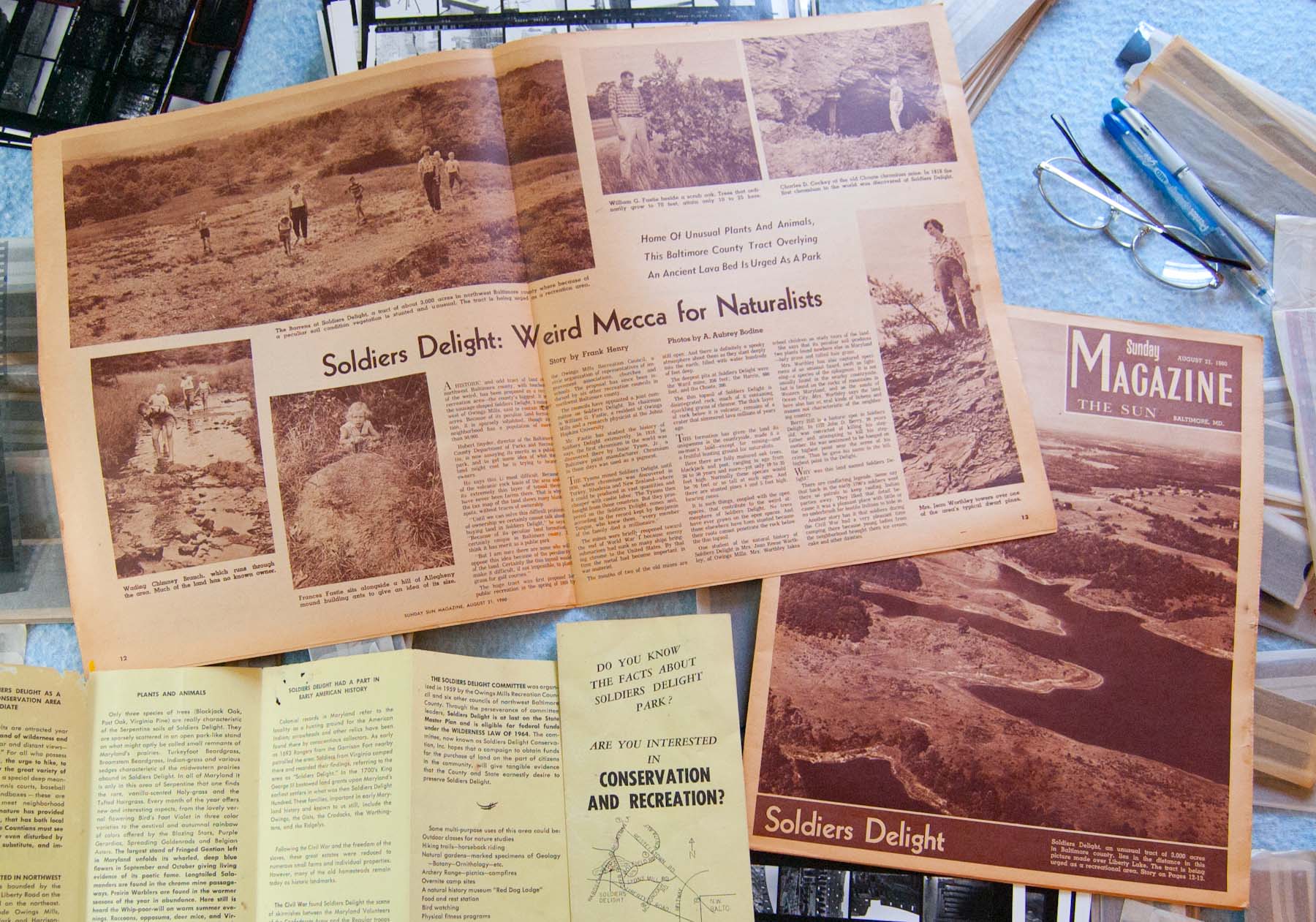
Digging around for 40 year old negatives last week turned up a couple of even older things. I found a little T-shirt, and a couple of copies of the Sunday rotogravure section from The Baltimore Sun for August 21, 1960, 53 years ago today. The brown section had been archived because it included photos of my entire family in a two page spread about Soldiers Delight. We were honored to be pictured in this article because the photographer was A. Aubrey Bodine who had worked for the Baltimore Sun since 1920. We were chosen to be the models for this photo shoot because my parents were advocates for the preservation of the undeveloped tract of serpentine barrens near our home in Owings Mills, Maryland. Also because we were really cute. Continue reading “Convergent artifacts”


